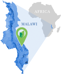
The Kulera Landscape project provides 5-km buffer areas around three important nature reserves in the African nation of Malawi: Nyika National Park, Vwaza Wildlife Reserve, and the Nkhotakota Wildlife Reserve, including a total project area of 217,270 hectares. These buffer zones protect forests and biodiversity, provide for improved regional governance, and facilitate sustainable forestry and agriculture in the project region. The project’s carbon credits are developed from the careful accounting and independent third-party verification of the carbon sequestered through growing trees in the project zone.
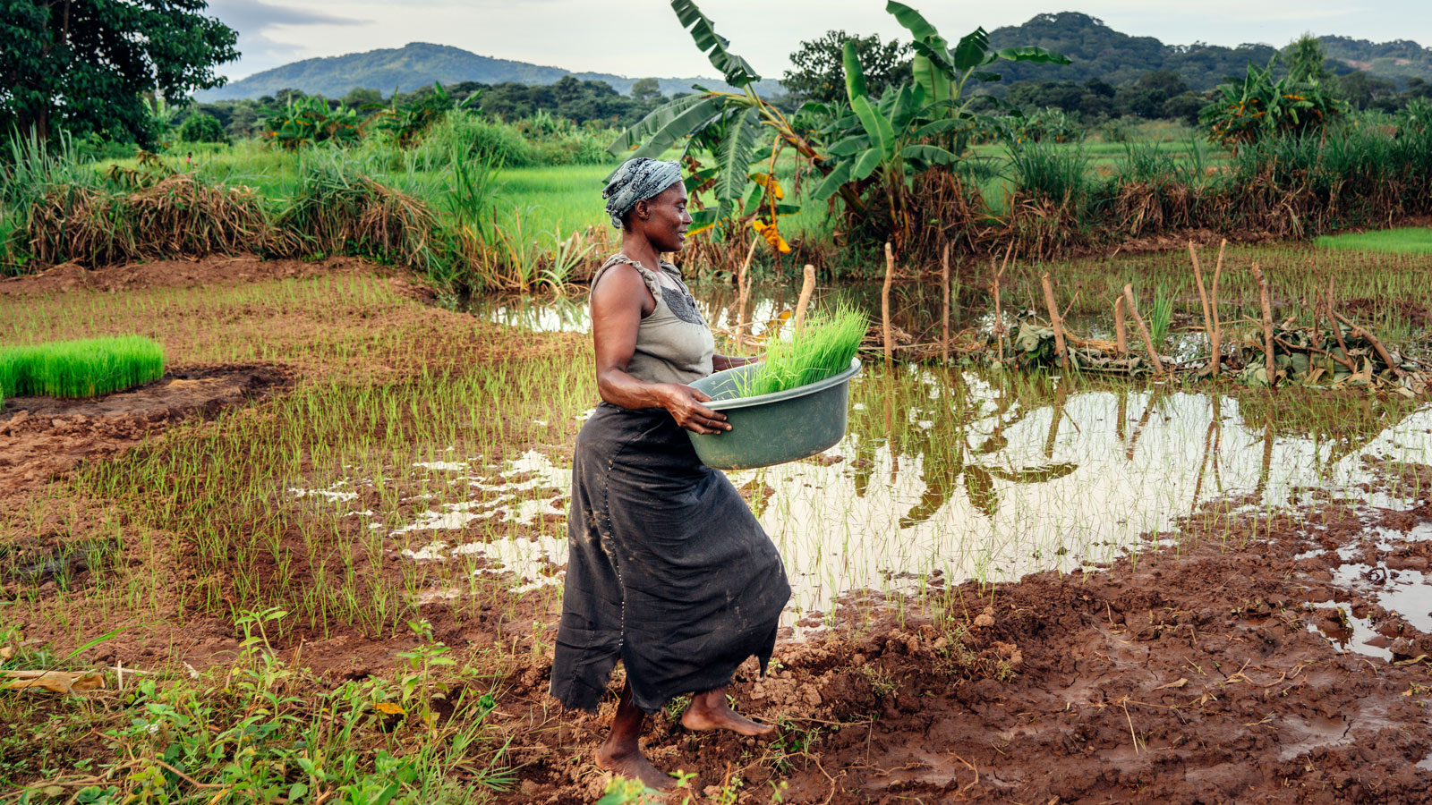
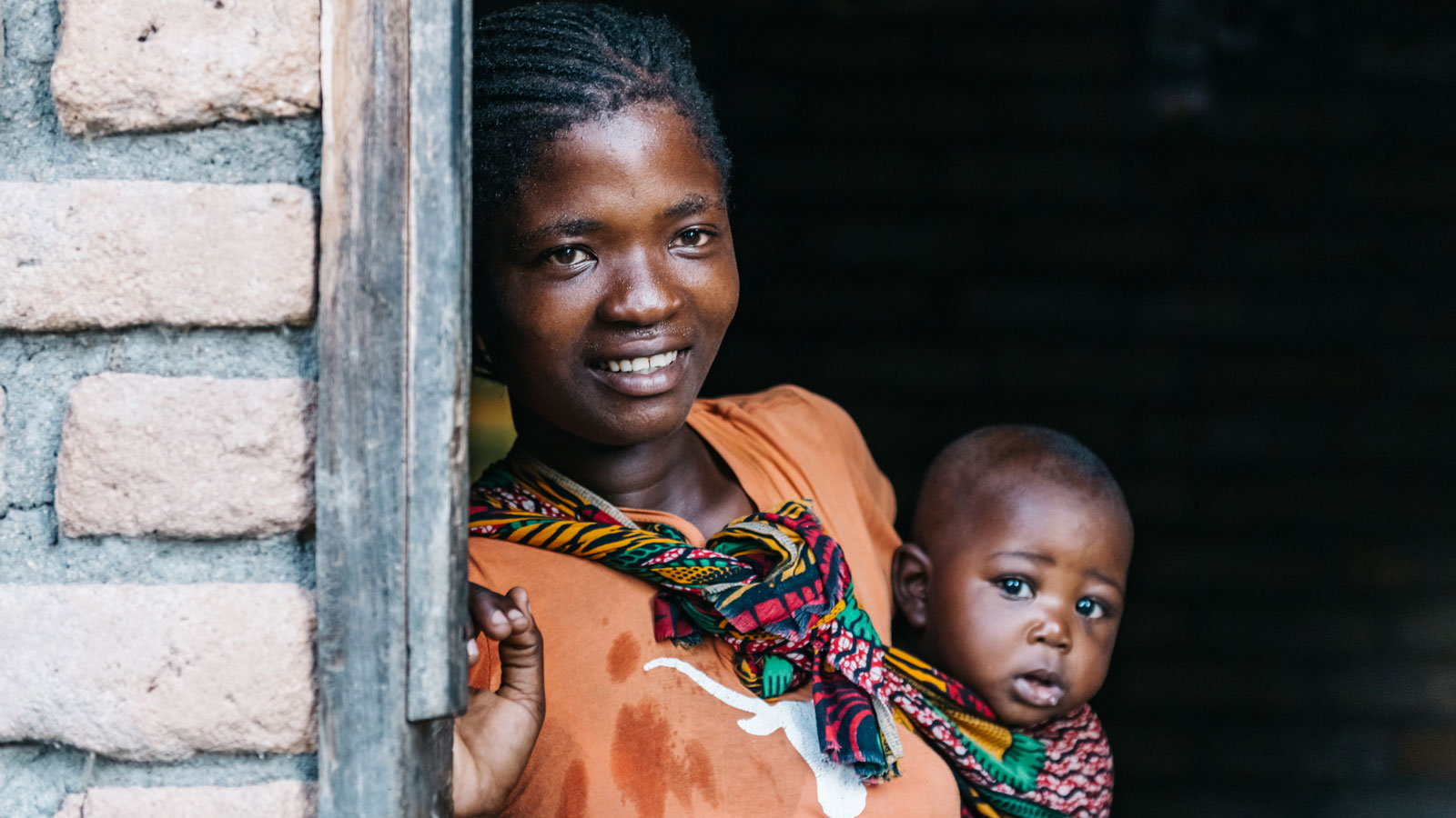
Encroachment and deforestation of the protected areas (typically for the procurement of wood and other resources) is now significantly mitigated by enhanced enforcement. This is done hand-in-hand with addressing the environmental, social and economic needs of local communities (such as the indigienous Chewa people) to provide alternative and sustainable livelihoods.
The Kulera project formally includes the Malawi Department of Natural Parks and Wildlife and the communities as project proponents. The project provides for the formation of Community Associations with democratically elected representatives from villages around the protected areas. Through this governance, the communities are empowered to actively engage with its lawful and contractual obligations. The communities are active participants in implementing sustainable agriculture and forestry, distribution and use of efficient cookstoves, and enforcement against poaching. Community members have also received training on conservation agriculture, natural resource management, tree regeneration, establishment of tree nurseries, and tree planting. The project provides training in business skills and marketing for entrepreneurs. Alternative energy and fuel-efficiency solutions are also being introduced into the region.
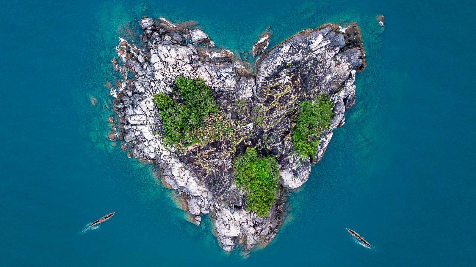
Malawi is a sub-tropical land-locked country of high mountains and deep lakes in southeast Africa. One-fifth of it is covered by Lake Malawi, which fills the trough of the Great African Rift Valley that traverses the country from north to south. East and west of the lake, the land forms high plateaus that reach as high as 2,600 meters in the Nyika uplands, and 3,048 meters at Mount Mulanje.
Malawi ranks among the world’s least developed countries. About 80% of the population lives in rural areas, with agriculture accounting for a third of the country’s GDP and 80% of the country’s exports. With almost 20 million people, slowing, but still rapid population growth continues to put pressure on Malawi’s land, water, and forest resources. Reduced plot sizes and increasing vulnerability to climate change threatens the sustainability of Malawi’s agriculturally based economy and will worsen food shortages.
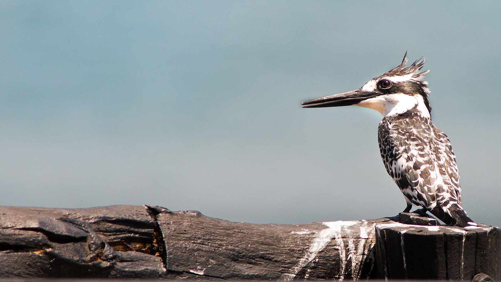
Malawi’s highland forests, rivers, and Lake Malawi provide important habitat for many diverse species of flora and fauna. The country is home to elephants, baboons, black rhinos, buffalos, waterbucks, bushbucks, crocodiles, hippos, Livingstone’s eland, Lichtenstein’s hartebeest, sable antelope, nyala, Burchell’s zebra, impala, warthog, and more.
The Kulera Landscape project is registered with the Verra Verified Carbon Standard (VCS) and Climate, Community, and Biodiversity Standard (CCB). In addition, as a REDD+ verified project (REDD+ stands for Reduce Emissions from Deforestation and Forest Degradation), it meets high standards established by the REDD+ international framework for forest management programs and associated co-benefits such as environmental conservation and restoration, economic stimulus, training, and entrepreneurship opportunities.